Your single point of reference for all your Geotechnical Inquiries
Terrain Tools
Software by
Softree
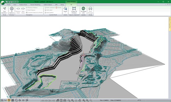
Terrain Tools® is a software toolkit for 3D mapping, terrain modelling and land development. Terrain Tools® includes a variety of 3D mapping functions, as well as engineering design functions.
Includes functions for: surveying, coordinate geometry, image manipulation, digital terrain modeling, contouring, volume and earthwork calculations, design, grading, visualization and report generation.
• 3D site design
• Stockpiles
• Mine surveying
• Quantity takeoffs
• Pad and pond design
• Geological mapping
• Surface contouring and visualization
• Landfill site design
Country:
Canada, British Columbia
Canada, British Columbia
User Rating:
You must be registered to vote.


