Your single point of reference for all your Geotechnical Inquiries
Carlson Point Cloud
Software by
Carlson
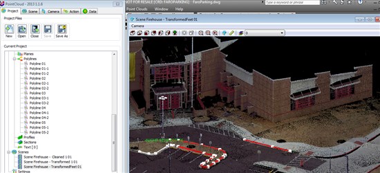
Carlson Point Cloud is a modular program that provides this powerful ability to go from field scan to finished plat, all with seamless integration to Carlson Survey, Carlson Civil and Carlson Mining. Carlson Point Cloud delivers a whole new level of powerful automation for large data sets. It gives laser scanner users the ability to process millions of data points with Carlson Software ease-of-use.
Country:
USA
USA
User Rating:
You must be registered to vote.


