Your single point of reference for all your Geotechnical Inquiries
CONTOUR3DMS FEATURES
Software by
MinServ (Mineral Services)
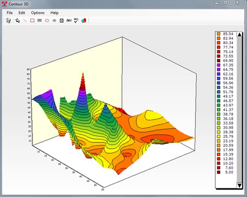
Contour3DMS is a Windows program for plotting drill hole/sample maps and contour maps. A wide variety of options allow the maps to be customized to your requirements. Designed for presenting and interpreting geological field data. Contour3DMS consists of 3 integrated modules built into one application. These 3 modules are:
1. Spreadsheet Module for entering and editing data
2. Drill Hole/Sample Plotting Module for drawing and plotting drill hole/sample maps
3. 3D Contouring Module for plotting contour maps
Country:
Australia
Australia
User Rating:
You must be registered to vote.


