Your single point of reference for all your Geotechnical Inquiries
G.M.S. – GeoMechanical Survey
Software by
GeoStru Software
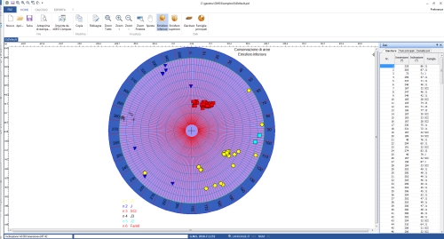
The software GMS (GeoMechanical Survey) has the aim to represent and process the geo-structural survey of rock masses joints performed in-situ with the method of the compass and clinometer, according to the ISRM recommendations. The joints in a rock mass condition, in a more or less evident way, the mechanical behavior of the rock and of the geotechnical model at the basis of any calculation. It is important, in order to correctly evaluate the stability condition, to have a precise description of the rock structure and joints, both in qualitative and quantitative terms.
Country:
Romania
Romania
User Rating:
You must be registered to vote.


