Your single point of reference for all your Geotechnical Inquiries
Quikslope 6
Software by
SOFTROCK
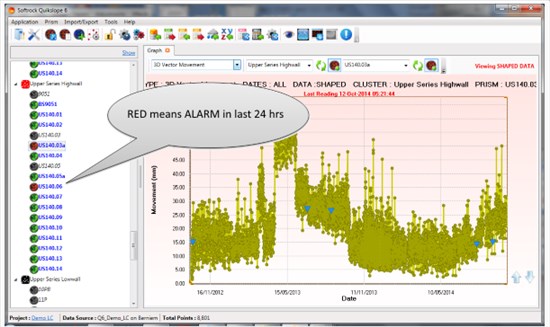
Quikslope 6 has been developed as a spatial analytical tool for use by Geotechnical engineers and Surveyors in the assessment of deformation. It provides a medium for gathering, displaying and assessing field based survey and geotechnical sensor data from prisms, targets, tilt meters, extensometers and GNSS data. This program has the ability to import and adjust manually collected survey data as well as display information from both automated and manual field systems which is stored in a SQL database. The displayed information is then manipulated and interrogated through a range of Graphs and CAD.
Country:
Australia
Australia
User Rating:
You must be registered to vote.


