


Your single point of reference for all your Geotechnical Inquiries

23 Publications
43 news articles
records found when searching for:
 Search
 Clear Fields
43
records found when searching for:
tsunami
advanced search options

Search
Searching Geotechpedia for tsunami
Show results in
<p>Thin coastal dykes typically found in developing countries may suddenly collapse due to rapid land subsidence, material ageing, sea-level rise, high wave attack, earthquakes, landslides, or a collision with vessels. Such a failure could trigger dam-break ...
Filed under:
Earthquake Engineering -
Tsunami
Reference:
Nat. Hazards Earth Syst. Sci., 16, 1629–1638, 2016
Wang J.
,
Ward S. N.
et al.
<p>Flow-like landslides are rapidly moving fluid–solid mixtures that can cause significant destruction along paths that run far from their original sources. Existing models for run out prediction and motion simulation of flow-like landslides have many ...
Filed under:
Soil Mechanics -
Numerical Methods
Reference:
Geophys. J. Int. (2015) 201, 1534–1544, GJI Geodynamics and tectonics
The disposal of nuclear wastes is one of the most controversial issues faced by authorities inJapan. In this regard, a survey was conducted among 172 university students to analyze the attitude towardsthe sitting of a nuclear waste repository in the country. ...
Filed under:
Environmental Geoengineering -
Waste and Landfills
Reference:
Int. J. Environ. Res., 6(2):399-408, Spring 2012
Kelson K. I.
,
Witter R. C.
et al.
Tectonic deformation from the 2010 Maule (Chile) Mw 8.8 earthquakeincluded both uplift and subsidence along about 470 km of the central Chilean coast. In the south, deformation included as much as 3 m of uplift of the Arauco Peninsula, which produced emergent ...
Filed under:
Earthquake Engineering -
Seismology & Earthquakes
Reference:
Earthquake Spectra, Volume 28, No. S1, pages S39–S54, June 2012; 2012, Earthquake Engineering Research Institute
Dutykh D.
,
Mitsotakis D.
et al.
The main reason for the generation of tsunamis is the deformation of the bottom of the ocean caused by an underwater earthquake. Usually, only the vertical bottommotion is taken into account while the horizontal co-seismic displacements are neglected in the ...
Filed under:
Earthquake Engineering -
Tsunami
Reference:
arXiv:1011.1741v3 [physics.class-ph] 13 Feb 2012
A devastating earthquake hit the Tohoku and Kanto regions of Japan on 11 March 2011, causing extensive damage to life and property as a result of large-scale tsunami and damage to nuclear power plants. Many slope failures occurred in hilly areas, such as in ...
Filed under:
Earthquake Engineering -
Liquefaction
Reference:
NZSEE Annual Technical Conference & AGM, 13-15 April 2012, Christchurch
Kortekaas S.
,
Papadopoulos G. A.
et al.
<p>Geological identification of tsunami deposits is important for tsunami hazard studies, especially in areas where the historical data set is limited or absent. Evidence left by historical tsunamis in the coastal sedimentary record of the Gulf of Corinth ...
Filed under:
Geology -
General Geology
Reference:
Nat. Hazards Earth Syst. Sci., 11, 2029–2041, 2011
We apply the recently developed "tsunami ball" method to construct a physics based simulation of the 1963 Vaiont reservoir landslide and flood disaster.
Filed under:
Engineering Geology -
Landslides
Reference:
Ital. J. Geosci. (Boll. Soc. Geol. It), Vol 130, No 1 (2011)
<p>Numerous source models for the mainshock have been inverted from seismic, geodetic, and tsunami observations. In this study is shown that, among six tested source models, there is a mean 47% gain in positively-stressed aftershock mechanisms over that for ...
Filed under:
Earthquake Engineering -
Seismology & Earthquakes
Reference:
Earth Planets Space, 63, 725-730, 2011
This paper is an overview of the 2004 Sumatra-Andaman Megathrust Rupture.
Filed under:
Earthquake Engineering -
Tsunami
Reference:
Annu. Rev. Earth Planet. Sci. 2010. 38:103-31
Filed under:
Disasters & Failures

Filed under:
Disasters & Failures

Filed under:
Disasters & Failures

Filed under:
Disasters & Failures
")
Filed under:
Disasters & Failures
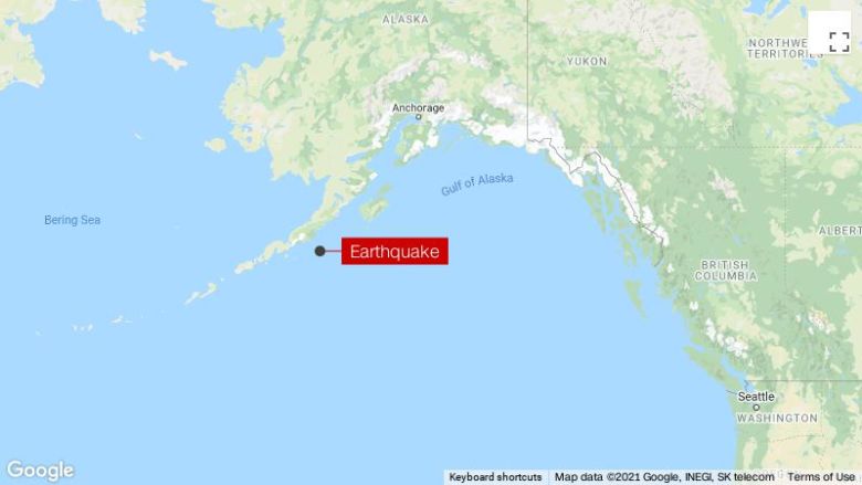
Los Angeles Times
30 May 2019
El Salvador
Filed under:
Disasters & Failures
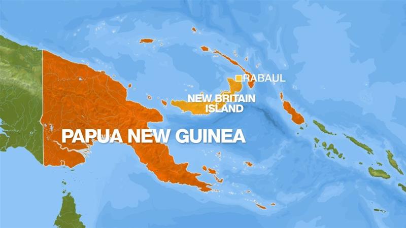
Aljazeera
15 May 2019
Papua New Guinea
Filed under:
Disasters & Failures

Filed under:
Disasters & Failures
Express
22 April 2019
Philippines
")
Filed under:
Disasters & Failures

Filed under:
Advanced Knowledge
