Your single point of reference for all your Geotechnical Inquiries
Geo Surface3D PRO
Software by
ScienceGL
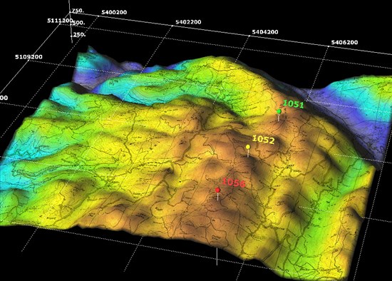
ScienceGL offers 3D visualization for extended GIS data that combines multiple layer terrain and multi-variable thematic map in one interactive 3D screen. Visualize Digital Elevation Model (DEM), land map, roads, satellite image, LIDAR data in the same screen. Combine terrain data with vector graphics, businesses thematic map, weather map, etc. Use transparancy to highlight more important data. The unique combination of GIS and multi-variable thematic maps helps to discover trends and patterns quickly and accurately. No other data presentation method comes close to expressing so much information within such a small space.
Country:
USA
USA
User Rating:
You must be registered to vote.


