Your single point of reference for all your Geotechnical Inquiries
LandWorks GIS suite
Software by
LandWorks Inc.
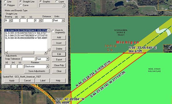
A complete mapping solution leveraging industry standard Esri® GIS technology to help you manage your land assets, LandWorks GIS fully integrates with LPM to create a visual representation of your land rights data. LandWorks GIS links the agreement, tract and legal description attributes stored in the LPM database to the corresponding layers in the GIS. As soon as any attribute is updated in LPM, the GIS layers immediately reflect the update, providing you with consistency and transparency across your organization.
User Rating:
You must be registered to vote.


