Your single point of reference for all your Geotechnical Inquiries
MLField Mobile App
Software by
Canary Systems
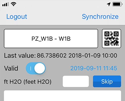
MLField® is a mobile application that is designed to bridge the gap between data collection and observations in the field, and the hosted project database. MLField® allows for identifying instruments in the field using a Quick Response (QR) code scanner, or by locating them on Google Maps; creating data elements in the field for ad-hoc observation; and synchronizing data, photos and notes manually collected in the field with the project database. MLField® can also quickly provide an output of that instruments recently collected data.
Country:
USA, New Hampshire
USA, New Hampshire
User Rating:
You must be registered to vote.


