Your single point of reference for all your Geotechnical Inquiries
VADOSE/W
Vadose zone and soil cover analysis
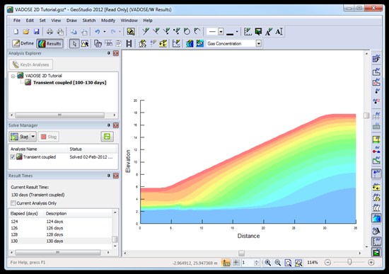
VADOSE/W analyzes the interaction between the soil profile , vegetation, and atmosphere using a sophisticated land-climate interaction boundary condition. It is able to simulate a range of scenarios, from simple infiltration due to rainfall, to complex modeling of snow melt, root transpiration and surface evaporation, runoff and ponding.
VADOSE/W can be applied to the analysis and design of land reclamation, mine closure, and waste containment projects.
Key Features
Input Climate Data
VADOSE/W provides a climate boundary condition with the ability to simulate surface vegetation and measured climate data including surface temperature, relative humidity, wind speed, precipitation, and potential evaporation/transpiration.
Model Evaporation
The relative humidity of a soil can be determined when the soil temperature and water pressure are simultaneously solved and vapour flow within the soil is modeled. VADOSE/W meets these requirements, and is fully coupled in two dimensions.
Powerful Graphing
Users can plot critical information such as precipitation and infiltration, snow accumulation and melt, plant transpiration, ground freezing and thawing, potential and actual evaporation, surface seepage, surface runoff and ponding, and groundwater recharge.
Root Water Uptake
VADOSE/W offers the capability of modeling root water uptake, with consideration of partitioning between actual evaporation and transpiration, plant stress factors, and root distribution.
Canada


