Your single point of reference for all your Geotechnical Inquiries
MapViewer 8.0
Software by
Golden Software, Inc.
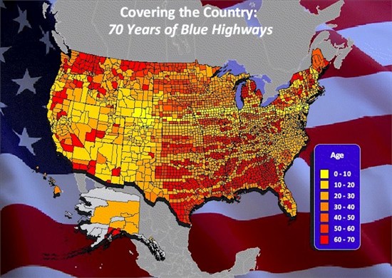
MapViewer is an affordable mapping and spatial analysis tool that allows you to easily produce publication-quality thematic maps. Precisely display your data distribution with the most intuitive functions and features. Your data is unique and you need the best mapping software for the job!
Country:
USA
USA
User Rating:
You must be registered to vote.


