Your single point of reference for all your Geotechnical Inquiries
Carlson GIS
Software by
Carlson
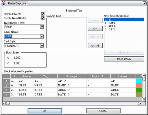
With tools for data capture and linking, data labeling, import/export of SHP files, polygon topology creation and analysis, and more, Carlson GIS is an awesome GIS “Swiss Army Knife” for the surveyor or engineer.
Country:
USA
USA
User Rating:
You must be registered to vote.


