Your single point of reference for all your Geotechnical Inquiries
ISOMAP - 3D Surface Modelling
Software by
geo&soft international
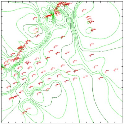
ISOMAP is the module that is used to calculate and render surfaces through contour lines or coloured and shaded areas with a high degree of precision.
The program allows the representation of the surface both in topographic map and perspective view forms.
The calculation is performed in two stages.
The first stage consists of creating a regular grid from a collection of arbitrarily positioned points.
The second stage consists of drawing the surface using the previously created grid.
The first stage can be performed using three methods: the inverse distance method, the kriging method, and a new interpolation and extrapolation method based on a weighted average of polynomial surfaces.
Country:
Italy
Italy
User Rating:
You must be registered to vote.


