Your single point of reference for all your Geotechnical Inquiries
GEO5 Stratigraphy
Software by
Fine Civil Engineering
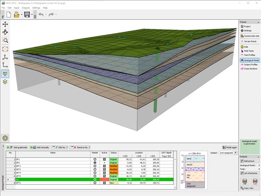
The GEO5 Stratigraphy program is designed to assess results from site investigation (boreholes, CPTs, SPTs, etc.), generate 2D or 3D geological models and export cross sections and geological profiles into GEO5 design programs.
Country:
Czech Republic
Czech Republic
User Rating:
You must be registered to vote.


