Your single point of reference for all your Geotechnical Inquiries
OrbisGIS
Software by
OrbisGIS
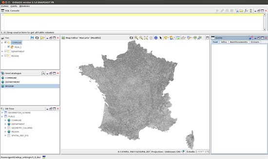
OrbisGIS is a cross-platform open-source Geographic Information System (GIS) created by research and for research. It is leaded by CNRS within the French Lab-STICC laboratory (DECIDE team of Vannes) and licensed under GPLv3. OrbisGIS proposes new methods and techniques to model, represent, process and share spatial data, making it easy to monitor geographical territories and manage their evolution.
User Rating:
You must be registered to vote.


