Your single point of reference for all your Geotechnical Inquiries
Cadcorp SIS
Software by
Cadcorp
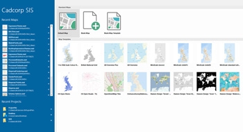
The Cadcorp Spatial Information System® - Cadcorp SIS® - is an integrated family of geospatial products comprising desktop, web and developer products. It has been designed to meet the needs of end-users and application developers alike, for use in all phases of spatial data management - from creation, through to application development, deployment and data distribution.
Country:
UK
UK
User Rating:
You must be registered to vote.


