Your single point of reference for all your Geotechnical Inquiries
GeoDepth
Software by
Emerson E&P Software
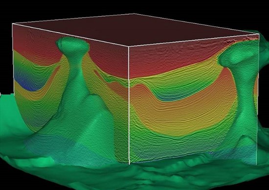
The complete set of interactive and batch velocity analysis tools available in GeoDepth handles the full range of seismic imaging problems encountered around the globe. GeoDepth supports seismic surveys for every type of geological structure in the world, from 2D and 3D marine and land surveys, to narrow and wide-azimuth acquisition geometries. The solution helps reduce drilling risk in subsurface geological structures like fault shadow, subsalt, sub-basalt, salt flanks, reefs, gas plumes, thrust faults and subtle lateral velocity variations.
User Rating:
You must be registered to vote.


