Your single point of reference for all your Geotechnical Inquiries
GEO5 Terrain
Software by
Fine Civil Engineering
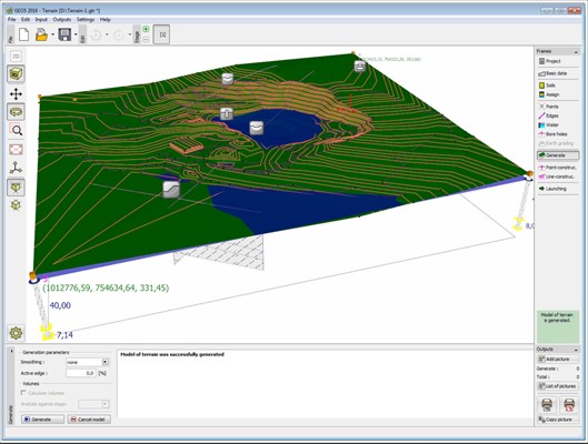
This program is used to create digital terrain models (DEM, DTM) from inputted points and boreholes. It calculates volumes of excavation and also serves as task manager for other GEO5 programs.
Country:
Czech Republic
Czech Republic
User Rating:
You must be registered to vote.


