Your single point of reference for all your Geotechnical Inquiries
ArcGIS 3D Analyst
Software by
RockWare
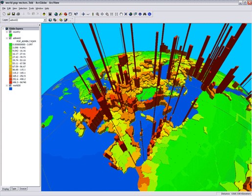
ArcGIS 3D Analyst is an ArcGIS extension that provides advanced tools for three-dimensional visualization, analysis, and surface generation. ArcGIS 3D Analyst enables both novice and advanced users to create dynamic 3D models and interactive maps that elevate the visualization and analysis of geographic data.
Country:
USA
USA
User Rating:
You must be registered to vote.


