Your single point of reference for all your Geotechnical Inquiries
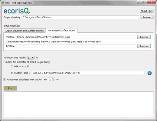
FINT - Tool for detecting trees in surface models
Software by
eqorisQ
FINT (Find INdividual Trees) is an application software for detecting individual trees on the basis of a detailed surface model (such as those created on the basis of aerial or terrestrial laserscanning data). FINT delivers postitions of dominant trees, tree heights and tree diameters.The user manual can be found here.
FINT is freely available for all members of the association!
Country:
World
World
User Rating:
You must be registered to vote.


