Your single point of reference for all your Geotechnical Inquiries
Pointcab
Software by
3D Laser Mapping
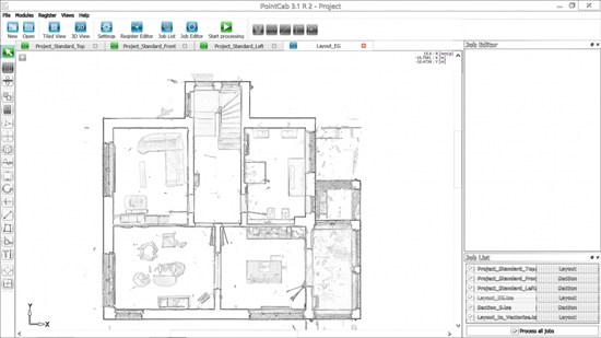
A software for all point clouds.
No matter if you need a 2D evaluation, 3D analysis or a neat project documentation – PointCab provides you an intuitive point cloud analysis without the need of training.
Focus on your planning activities and not on analyzing laser scan data.
Country:
UK
UK
User Rating:
You must be registered to vote.


