Your single point of reference for all your Geotechnical Inquiries
Haywood County plans for emergency landslide response, mapping to help
Haywood County Local Emergency Planning Committee hosted a Landslide Emergency Response Meeting at the Jonathan Creek Fire Department on August 4th. The purpose of the meeting was to bring together first responders, subjects matter experts, and emergency planners to discuss the hazards, vulnerabilities and capabilities available to safely and efficiently respond to landslide incidents.
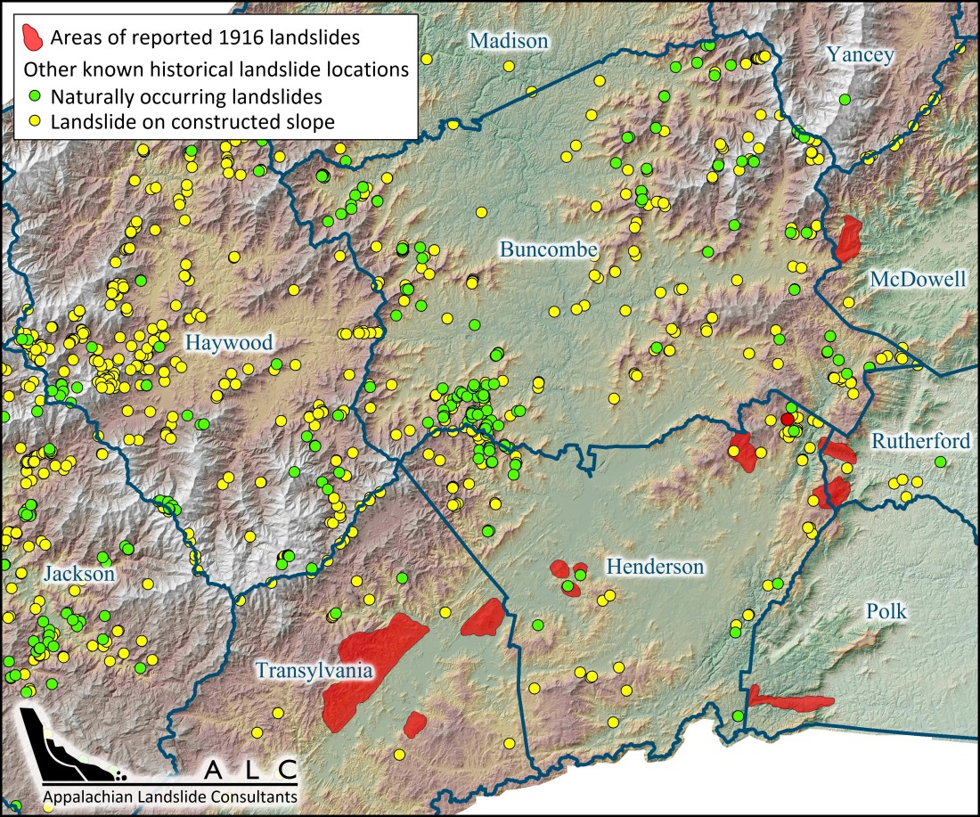
Landslide Emergency Response Planning is necessary in order to ensure the safety of WNC citizens and all responders before, during and after landslide incidents. Appalachian Landside Consultants, PLLC (ALC) has been working on mapping landslides and creating geologic stability maps for four different watersheds in Haywood County since 2012, through grant funding from area non-profit organizations. This experience put ALC in the position to discuss landslides and tools available through the mapping with the emergency managers and responders.


