Your single point of reference for all your Geotechnical Inquiries
Geotechnical Egineering News tagged with [satellite imaging technology]
Total Items found:
Nature.com
18 May 2021
China
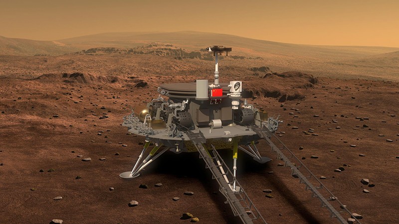
<p>Now that they know the general landing location of China’s Zhurong Mars rover, scientists are rushing to analyse satellite images and geological maps to pinpoint intriguing features. Of particular significance is a possible mud volcano — a type ...
Filed under:
Advanced Knowledge
<p>NASA assets in space and in the air are helping first responders deal with the ongoing volcanic outburst in Hawaii.</p><p>Kilauea volcano, on Hawaii's Big Island, has been erupting pretty much continuously for the past 35 years. But Kilauea's activity ratcheted ...
Filed under:
Advanced Knowledge


